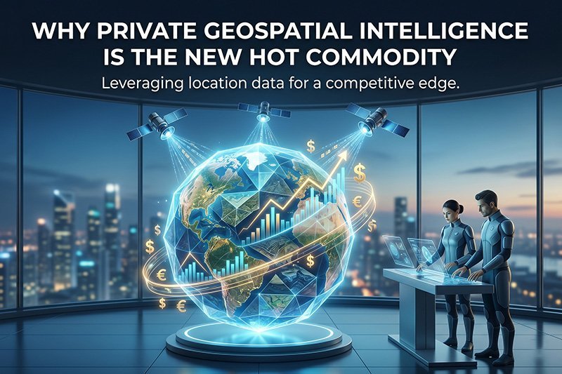


Geospatial intelligence (GEOINT) is the exploitation and analysis of imagery and geospatial information to describe, assess, and visually depict physical features and geographically referenced activities on or about the earth. Historically, it was seen as a tightly coveted state capability, especially during the cold war. However, the emergence of private companies such as, Maxar Technologies, […]