

Expos

TUSAŞ Selects KOVAN For Its Digital HR Transformation
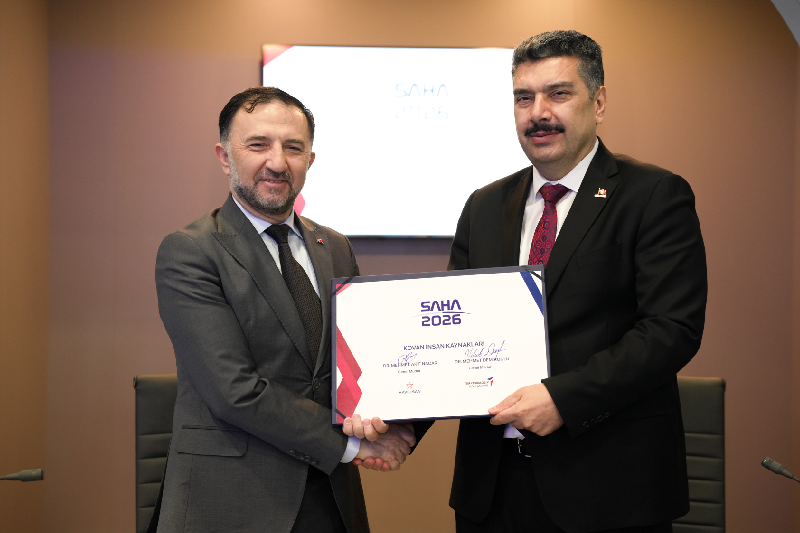
TUSAŞ has chosen KOVAN, the next generation business management system developed by HAVELSAN, to support its human resources digital transformation journey. As part of an agreement signed between HAVELSAN and TUSAŞ at SAHA EXPO 2026, TUSAŞ will carry out the digital transformation of its human resources processes using HAVELSAN’s software solution, KOVAN. With this strategic step, KOVAN is expected to enhance TUSAŞ’s operational efficiency while enabling a more integrated, faster, and sustainable structure across its business processes. Developed by HAVELSAN